A home near Windy Run.
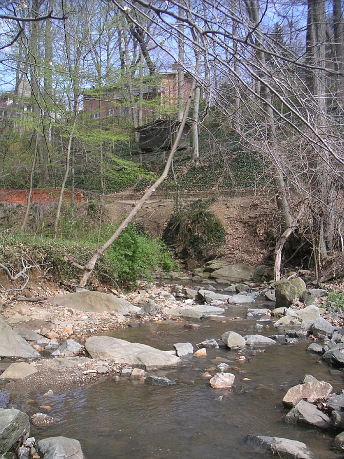
The County Board voted 5-0 July 15 to accept an update to the Chesapeake Bay Preservation Area map, also called the Resource Protection Area (RPA) map. The updated map includes additional streams and wetlands defined by the county’s Chesapeake Bay Preservation Ordinance as Resource Protection Areas.
Corrections and the addition of a number of streams and wetlands to the updated map removed RPA designations from 280 parcels, and will add the designation to 196 parcels. The total number of parcels in the county with the RPA designation will decrease from 1,523 to 1,439.
The RPA map identifies streams, wetlands, and tidal shores in Arlington, as well as a 100-foot buffer around these environmentally-sensitive areas. The RPA map was last revised in 2003, when the County Board also adopted a comprehensive update to the Chesapeake Bay Preservation Ordinance. Since that update, the county has collected data for its Natural Resources Management Plan in 2010 and Stormwater Master Plan in 2014.
When a RPA is designated, buildings already existing on a parcel are “grandfathered” and can be maintained, repaired or replaced in kind under the Chesapeake Bay Preservation Ordinance. However, new projects such as a home addition, or building a new home on properties adjacent to a stream or wetland, must be permitted and may require mitigation for potential water quality impacts.