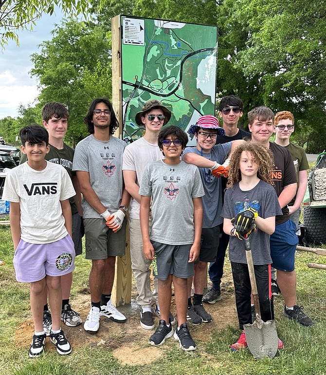
BSA Troop 688 poses after their trail map installation
The work was Arman Bajwa’s Eagle Scout project. Bajwa led the troop’s effort under the direction of the park’s Ellie Doyle Service Award recognized volunteer, Michael Applegate.
Bajwa designed the multi-color map content and structure. He was supported by his younger brother, parents and fellow troop members for the installation.
The map, which uses color to identify the various trails, provides an overview of the full area of the park’s 1,200-plus acreage. Unstaffed, the park includes an equestrian ring, open central green, picnic shelters, playground, disc golf course, and several multi-use paved and nature trails, attracting young scooter users and mountain bikers, dog and nature walkers, picnickers, birders and other nature lovers. The new map, located in the less well known area of the park’s southern portion below Lorton Road, will help all to find just the right spot to indulge in their own particular open air pleasures.